If you've been following the wildfire policy updates in Oregon, you’ve probably heard about the statewide wildfire hazard map and the controversy that came with it. Well, as of April 22, 2025, the Oregon State Senate voted unanimously to repeal the map, along with the state mandates that came with it, by passing Senate Bill 83. The bill still needs to pass the Oregon House of Representatives and garner the Governors signature but appears to be on track for being repealed.
So, what happened?
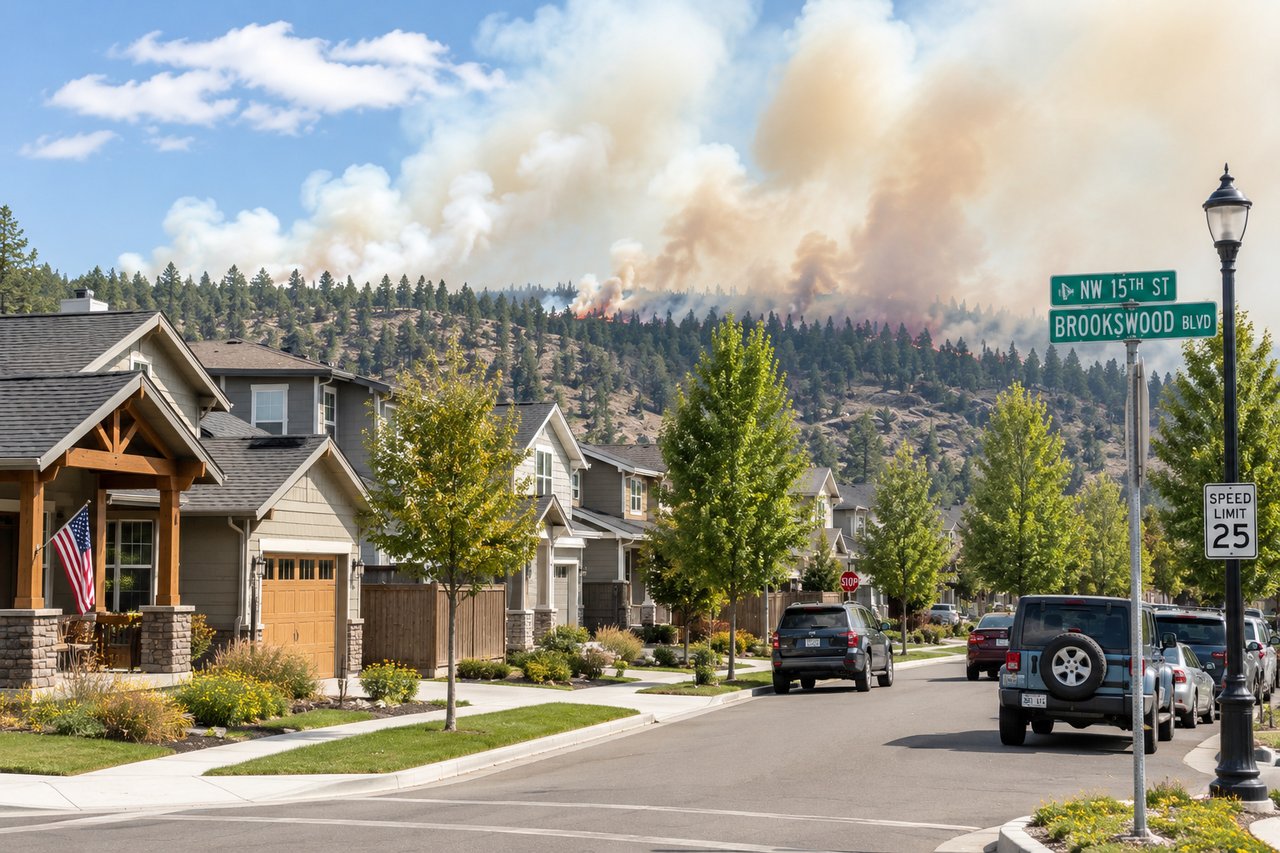
The wildfire hazard map was originally rolled out in 2022, then revised and re-released in early 2025 after intense backlash. It was created in response to the devastating Labor Day fires of 2020, with the goal of identifying areas most at risk for wildfires and helping guide preparedness efforts. The intention was good, improve community resilience, inform building codes and encourage fire mitigation, but the map quickly sparked widespread concern and confusion among property owners, especially in Central Oregon.
Here's a quick breakdown of the pros and cons that surrounded the map:
What the Map Got Right
Better Wildfire Readiness, it gave a statewide overview of fire hazards, which helped direct fire-resistant building efforts and encourage homeowners in high-risk zones to create defensible space.
Science-Based Strategy, developed by the Oregon Department of Forestry and Oregon State University, the map relied on data and research to shape wildfire policy and direct resources where they were needed most.
Raised Awareness, whether people agreed with it or not, the map got folks talking and thinking about wildfire risks, which helped boost public engagement around prevention.
So what didn’t go over so well?
Worries About Insurance & Property Values, though Senate Bill 82 was passed to keep insurers from using the map to set rates or deny coverage, many homeowners feared it would hurt their ability to get insurance or lower their property values.
Accuracy Problems, some property owners noticed strange inconsistencies, like homes next door to each other falling into completely different hazard zones. This left many skeptical about how reliable the map really was.
Lack of Community Input, the rollout didn’t involve much public feedback, which led to confusion, a flood of appeals, and eventually, the state pulling the original version.
The state did make some updates before ultimately scrapping the map. While the updated version aimed to strike a better balance between safety and homeowner concerns, it still didn’t win over the public. With growing pressure from residents, the state finally decided to scrap it altogether.
That said, this might not be the end of the conversation. Even though the map won’t be used at the state level anymore, local governments could still look to it—or something similar—as they plan for future wildfire resilience.